|
||||
|
||||
|
Wall Maps > Multiple Map Sets
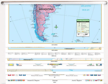
CLASSROOM WALL MAP SETS ON ROLLERS - Custom Sets
-
Sale
Price: $359.99
- $999.99 (free
shipping/handling)
or 6 monthly installments of
with
PayPal Credit Retail Price:
$
439.00-$1255.00
Use COUPON CODE "MAP10" for an additional 10% DISCOUNT for multiple Map Sets
|
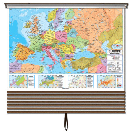
Mix & Match Wall Maps customized to your needs: choose from a wide selection of Political, Physical, and Historical wall maps - covering the United States, World, Continents, Regions, States, Counties, Cities, Blank Panels, etc. All maps in the set are designed with the same width for a uniform and cohesive display.
How to Order:
Features: |
|
Custom made maps sets of 2 - 8 maps per set
Sale $399.99 -
$1049.99 (free ship/h)
Retail Price:
$
Use COUPON CODE
"MAP10" for an additional
10% DISCOUNT
Delivery: Custom multiple-map sets ship within 614 days*.
|
||
Call us toll-free 877-822-9889 or 812-333-2772 for orders/questions Mon.-Sat. 10:00 am-5:30 pm Eastern Standard Time
|
|||
|
Custom made maps sets of 2 - 8 maps per set Sale $399.99 - $1049.99 (free ship/h) Retail Price: $Use COUPON CODE "MAP10" for an additional 10% DISCOUNT
Advanced Physical Wall
Map Series Engage Students, Simplify Teaching
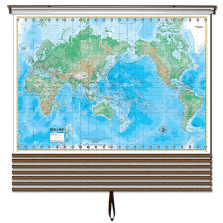
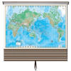
The world map features the Van Der Grinten projection for a clear
and accurate global perspective.
|
||
Call us toll-free 877-822-9889 or 812-333-2772 for orders/questions Mon.-Sat. 10:00 am-5:30 pm Eastern Standard Time
|
|||
|
ESSENTIAL WALL MAP SET
|
Sale $419.99 - $1099.99 (free ship/h) Retail Price: $Use COUPON CODE "MAP10" for an additional 10% DISCOUNT Classroom Wall Maps Built for Teaching, Designed for Learning
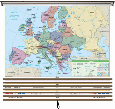
Help students connect political and physical geography at
a glance. These maps clearly show country boundaries with shaded relief to
emphasize landforms, making lessons more engaging and easy to understand. Delivery: Please allow 614 days for custom multiple-map sets.
|
||
Call us toll-free 877-822-9889 or 812-333-2772 for orders/questions Mon.-Sat. 10:00 am-5:30 pm Eastern Standard Time
OP TIONAL blank panel
Add a blank panel to your wall map set for extra flexibility. It is markable with dry-erase or water-soluble markers for notes, drawings, or lesson customization.
Call us toll-free 877-822-9889 or
812-333-2772 for orders/questions Mon.-Sat.
10:00 am-5:30 pm Eastern Standard Time
|
|||
|
PRIMARY WALL MAP SET
|
Sale $439.99 - $1099.99 (free ship/h) Retail Price: $Use COUPON CODE "MAP10" for an additional 10% DISCOUNT
Primary Wall Map
Series Perfect for Early Learners (Grades K3)
Durable, visually engaging, and curriculum-read, these maps make an excellent resource for any elementary classroom.
|
||
Call us toll-free 877-822-9889 or 812-333-2772 for orders/questions Mon.-Sat. 10:00 am-5:30 pm Eastern Standard Time
|
|||
|
|
Political Maps
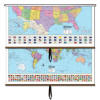
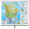
| US / World Combo Sets | World Wall Maps | USA Wall Maps | North America Map |
 |
 |
 |
 |
| $134.99-$519.99 (free s/h) | $79.99-$544.99 (free s/h) | $79.99-$539.99 (free s/h) | $79.99-$489.99 (free s/h) |
| Asia Wall Map | Africa Wall Map | Europe Wall Map | South America Map |
 |
 |
 |
 |
| $79.99-$489.99 (free s/h) | $79.99-$489.99 (free s/h) | $79.99-$489.99 (free s/h) | $79.99-$489.99 (free s/h) |
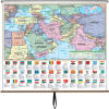
| Australia Wall Map | Central America Map | Middle East & S. Asia | |
 |
 |
 |
 |
| $79.99-$489.99 (free s/h) | $99.99-$489.99 (free sh/h) | $99.99-$539.99 (free sh/h) |
 |
Additional map images can be viewed here
Physical Maps
| USA / World Wall Map | World Wall Map | USA Wall Map | Physical Custom Map Sets |
 |
 |
 |
 |
| $409.99-$479.99 (free s/h) | $79.99-$439.99 (free s/h) | $79.99-$439.99 (free s/h) | $399.99-$1049.99 (free s/h) |
| Asia Wall Map | Australia Wall Map | Europe Wall Map | North America Map |
 |
 |
 |
 |
| $79.99-$439.99 (free s/h) | $79.99-$439.99 (free s/h) | $79.99-$439.99 (free s/h) | $79.99-$439.99 (free s/h) |
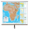
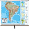
| Africa Wall Map | South America Map | 3D Relief Europe | 3D Relief USA |
 |
 |
||
| $79.99-$439.99 (free s/h) | $79.99-$439.99 (free s/h) | $299.99-$499.99(free s/h) | $299.99-$499.99(free s/h) |
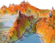
| 3D Relief Russia | 3D Raised Relief Maps | ||
 |
|||
| $299.99-$499.99(free s/h) | |||
Additional map images can be viewed here
Call us toll-free 877-822-9889 or 812-333-2772 for orders/questions Mon.-Sat. 10:00 am-5:30 pm Eastern Standard Time
Large Mounted Rolled Series World Wall Maps

